Downloadable Portland Maps
Getting Your Bearings
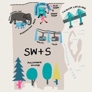
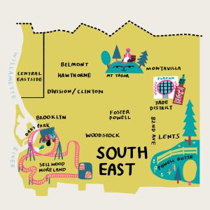
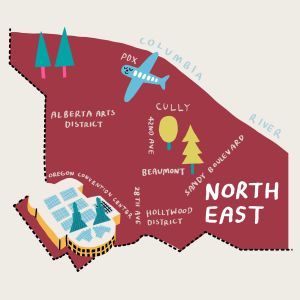
In our classic quirky fashion, Portland’s six main geographical sections (North, Northeast, Northwest, South, Southeast and Southwest) are referred to by residents as the city’s “quadrants.” The city is divided into north and south by Burnside Street and into east and west by the Willamette River.
Portland has more than 90 formally recognized neighborhoods with distinct boundaries. Our highlighted neighborhood and street guides highlight some of the best places to explore as a visitor to the city, where many restaurants and shops are consolidated.
Portland’s Quadrants
Explore the six “quadrants” (yes — there are six of them!) that make up the City of Roses.
The Central City
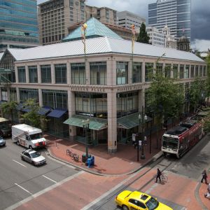
Portland's central city includes several distinct districts on both the west and east sides of the Willamette River. On the west side is Downtown, where you'll find arts, retail, restaurants and the highest concentration of hotels; Old Town Chinatown, a historic district now home to streetwear shops and Chinese and Japanese cultural destinations; the Pearl District, with its galleries, restaurants and stores; Goose Hollow, offering Major League Soccer at Providence Park; and South Portland, where the South Waterfront district offers river access.
On the east side, Lloyd is home to the Oregon Convention Center and Moda Center, which hosts NBA games and concerts; while the Central Eastside includes many restaurants and shops, as well as the Oregon Museum of Science and Industry (OMSI).
Beyond Portland
Portland is the perfect launchpad for adventure, with the rugged Oregon Coast, snow-capped Mount Hood, lush wine country and waterfall-filled Columbia River Gorge all within easy driving distance of the city.
Whether your interests are surfing, skiing, sipping or just trying something new, the region around Portland is ripe for exploration.
Discover all the best places to explore outside of Portland on our region page.
Near Me Now
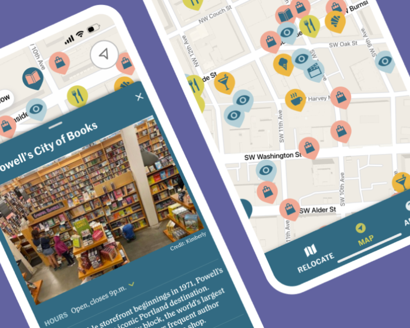
Explore like a local with Travel Portland’s very own Near Me Now for iPhone, available for download at the Apple App Store, and at the Google Play Store for Android. This map-based guide highlights some of our favorite restaurants, attractions, shops, bars and more to give you a local’s perspective on this dynamic, delicious city. We also share historical insights, public art and fun facts, as well as today’s events at venues all over town. It’s like having a personal guide to the city right in your pocket! Near Me Now is also still available to all users on our website— no installation necessary.

Getting Around in Portland
Is downtown Portland walkable?
How much does it cost to ride public transportation in Portland?
Adult (ages 18–64): $2.50 to ride for 2.5 hours; $5 for a day pass
Honored Citizen (ages 65 years and older; low income, Medicare or disability): $1.25 to ride for 2.5 hours; $2.50 for a day pass
Youth (ages 7–17): $1.25 to ride for 2.5 hours; $2.50 for a day pass
These fares are subject to change. Visit the TriMet website for the most up-to-date pricing information.
Do I need a car in Portland?
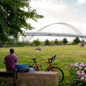
Are there car-free bike paths in Portland?
Transportation Options in Portland
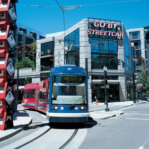
Whether you prefer biking or enjoy ride-sharing, Portland has you covered.
Getting to Portland
Visiting Portland is a breeze, whether through international air travel, train, or bus!
Portland International Airport (PDX)
Portland International Airport (PDX) boasts an easy light rail connection to downtown, local food and drink, free Wi-Fi, tax-free shopping with no markups — and 500 flights daily.
Amtrak / Union Station
Union Station, with its elegant architecture and iconic “Go By Train” neon sign connects passengers with the city by bus, car and of course by train.
FlixBus and Greyhound
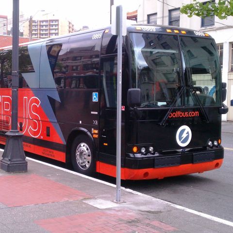
Travel to and from Portland with ease on FlixBus and Greyhound buses — both affordable services connect Portland with regional destinations near and far.
Was this page helpful?
